Hi all,
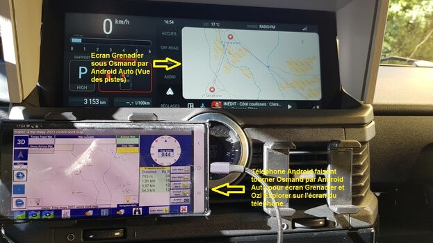
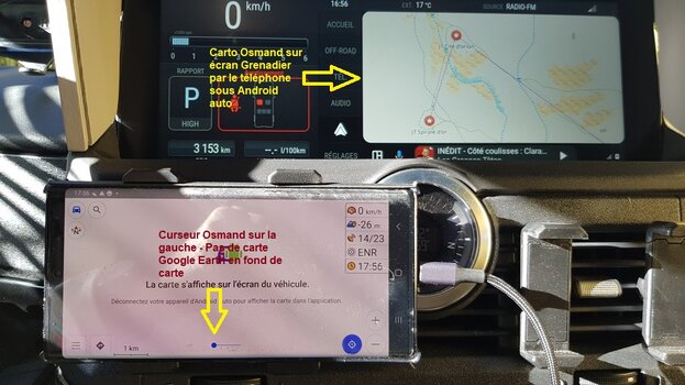
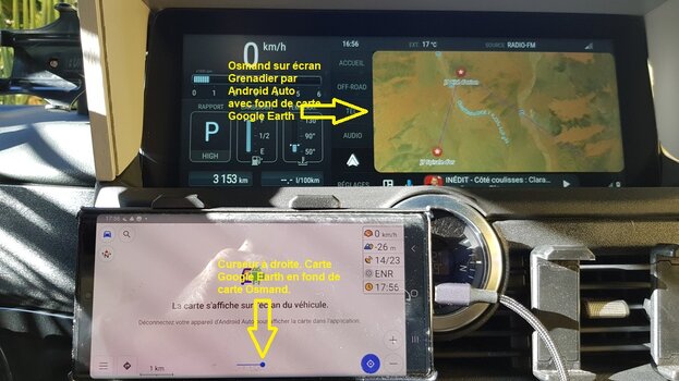
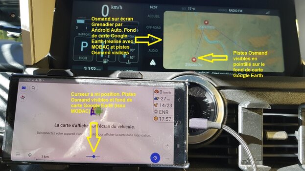
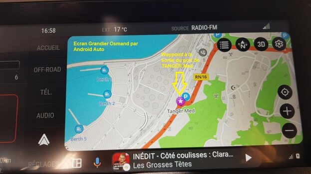
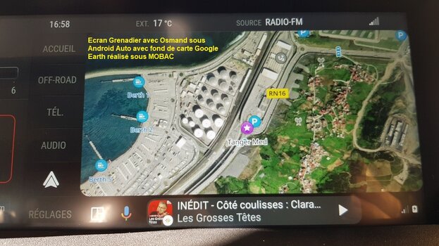
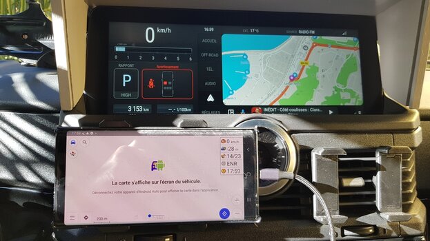
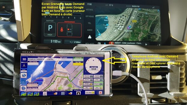
my this topic has been discussed already but now with some real cars on the road I just want to know more about the features about the IG Pathfinder. Does anybody has a clear view on this? I saw that @emax had a thread on this topic as well.
My main interest if one can upload any gpx, kml, kmz file and which maps are being used or what maps I can use - of course I do not intend on road navigation from A to B.
For my motorcylce tours I am using a Garmin 276cx which requires two master degrees ;-) - one for the HW and for Basecamp (SW). Normally I am creating my tracks in My Maps (google) and then importing the kml/kmz files into basecamp and from there to the 276cx. As maps I am using mainly openMTB.
Can I use the Pathfinder in the similar way which would require GNSS antenna? Or I am forced to continue to use Garmin?
So far it appears the the dealers have no clue about this.
Thanks for your input.


